
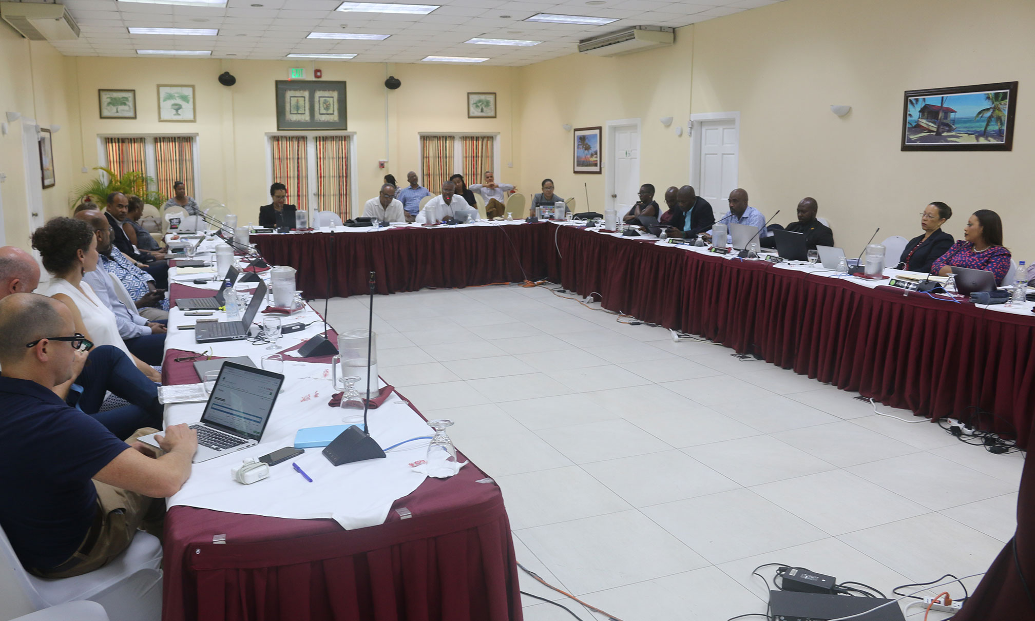
EO4SD-marine are supporting the development of a Marine Spatial Plan that will cover several islands in the Caribbean. Christine Sams joined the St Lucia Conference on Ocean Governance Frameworks hosted by the Organization of Eastern Caribbean States (OECS) Commission to raise awareness of the contribution satellite-derived marine information can make to regional efforts to promote sustainable development of Caribbean marine resources.
The meeting was part of the Caribbean Regional Oceanscape Project (CROP), which aims to develop and implement integrated ocean governance policies that can help leverage sustainable public and private investment in the waters of OECS member states and other participating Caribbean countries. An early step in this process is the development of five dynamic Marine Spatial Plans (MSPs) for better decision making in the participating countries - national MSPs for each of Grenada, Saint Lucia, St. Vincent and the Grenadines, Dominica, and St. Kitts and Nevis, and one regional marine spatial planning framework.
Over the next two years EO4SD-marine will support the CROP efforts to towards sustainable development of Caribbean resources by providing marine-EO data to complement information already available, and will also contribute to CROP capacity building and training for staff and decision makers involved in the development and implementation of sectoral policies for blue economy development in the region