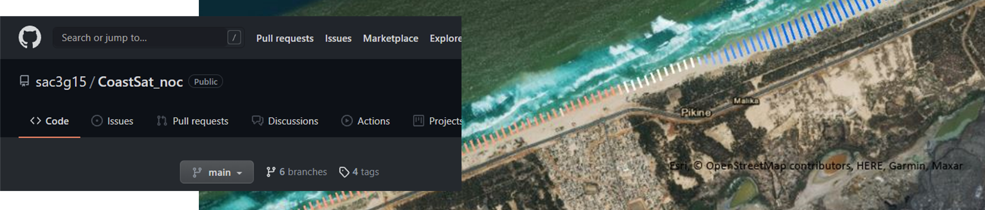
CoastSat_nocs is an open-source software toolkit written in Python that enables users to obtain shoreline change statistics and forecasts at any sandy coastline worldwide using Landsat 7, 8 and Sentinel-2. This is a toolkit is that has been modified from coastsat - an open sourced code by Vos et al., 2019 and uses DSAS shoreline analysis plug-in in ArcMap. Coastsat_nocs has branched from coastsat with the intention of making long-term, large-scale analysis of shoreline change analysis possible. The code was branched from the original as part of the Earth Observation for Sustainable Development project, where an estimation of shoreline change rates were needed, without access to accurate and local tide gauge information.
The code is available through the link here on Github. The freely available code has been developed to allow coastal managers and scientists around the world to monitor their shorelines using satellite data collected online using Google Earth Engine. As part of the EO4SD project, we have already carried out an analysis between 2000-2020 across the following countries:
Mozambique
Madagascar
Tunisia
Morocco
Mauritania
Senegal
Cote d'Ivoire
Ghana (Limited to Winneba-Lome - Very high cloud cover)
Togo
Benin
Sao Tome & Principe (*only 2019/2020 available due to very high cloud cover)
This data is available on our data portal.
More information on the development of the tool, including how the tool differs from the original CoastSat code read our StoryMap here