Benthic habitat mapping
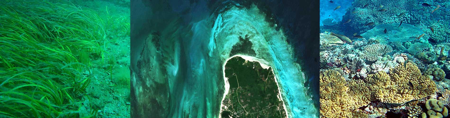
Empirical methods can produce relatively accurate maps of broad benthic habitat types such as red, green or brown macro-algae, live coral, sea grass beds, sand and other bare substrates. Where survey data is limited or not obtained near-simultaneously with the satellite image, inversion may still be relatively reliable, particularly if initial analysis of classification results draws on the experience of local experts familiar with the area. Analytical inversion, based on radiative transfer modelling, can simultaneously retrieve water depth and bottom type from the satellite data alone, but the processing is time consuming, and accuracy may be low and hard to assess in optically complex coastal waters.
The service will be avaiable for selected regions, with priority given to areas where local scientific support can assist with interpretation and/or supporting in situ data. Standard spatial resolution is 10m, but 1-5m resolution is available for specific surveys of patchy environments, where the user agrees to bear the cost of acquiring commercial data and support the mapping with in situ surveys.
Frequency of map updates will depend on the application. For spatial planning a single map showing maxiumum extent of cover by different habitats may be suffient. Updates may produced annually for managment purposes. In regions with strong seasonality two to four products per year may be necessary. Baseline and impact maps may be produced on request for specific events such as tropical storms or periods with high coral bleaching risk.